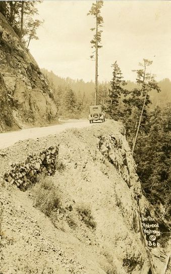
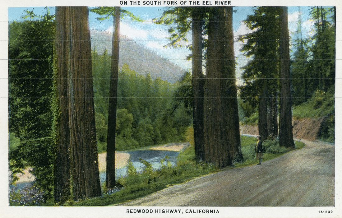
| Humboldt County has always been a place that is relatively difficult to get to. For a very long time, it was only accessible by overland trails on foot, by horse, or boat, until rail lines and eventually automobile roads were constructed. With summertime just around the corner, we're featuring some artifacts in the collection that document the history of roads in Humboldt County. This week's post was inspired by a photo postcard found in the collection featured here. The postcard, depicting an old car driving on a dirt road on a cliff around a hairpin curve, is one of a series of postcards titled "On the Redwood Highway". The postcards featured images that tourists may see as they drove along the precursor to today's Highway 101. Along with photos of dusty roads, they also document the logging industry of the area, with its larger than life tools and loggers dwarfed by the gigantic trees. Tourists could also send home postcards of rustic roadside stops like the Richardson Grove lodge and Trees of Mystery, all nestled along the highway from San Francisco to the Oregon border. Earlier photos were black and white or sepia, while slightly later ones were colorized, like the postcard featuring the South Fork of the Eel River below. |
|
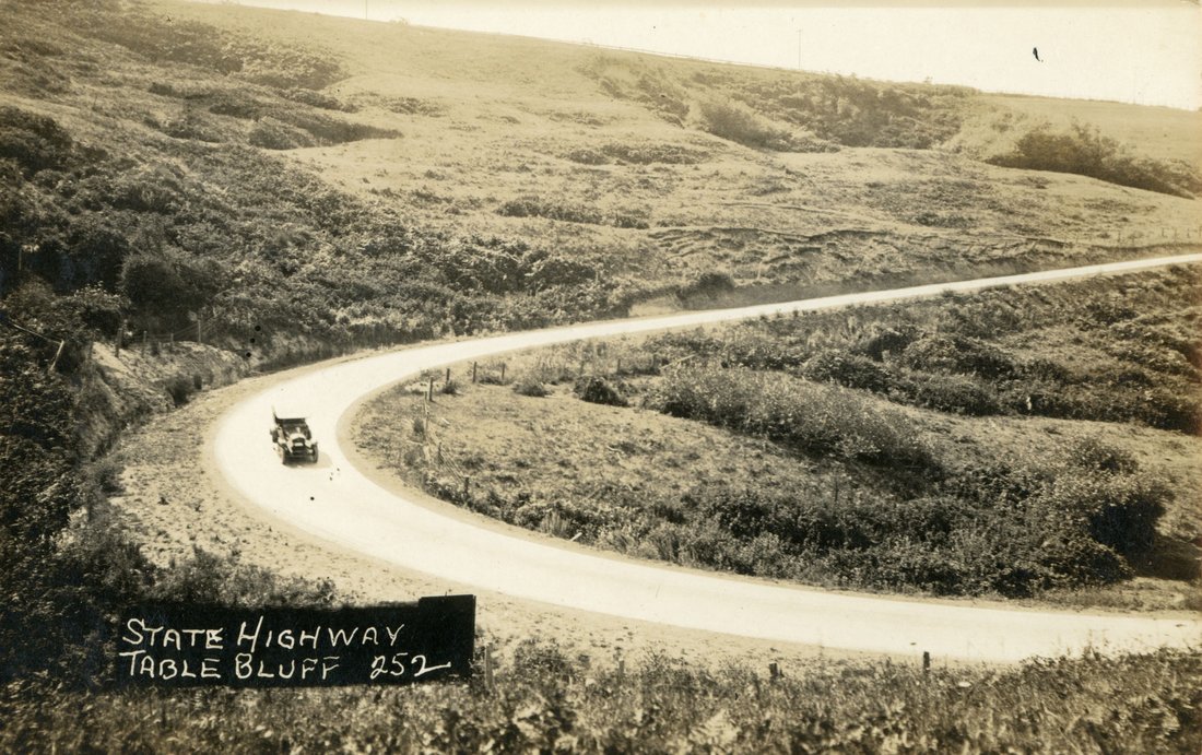
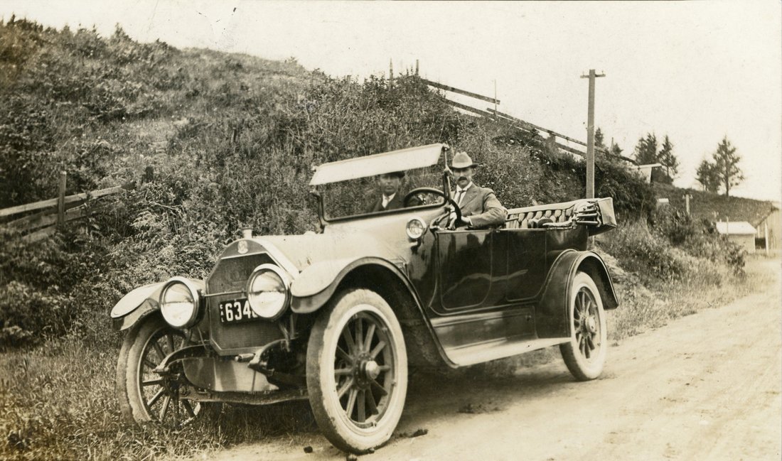
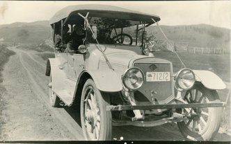
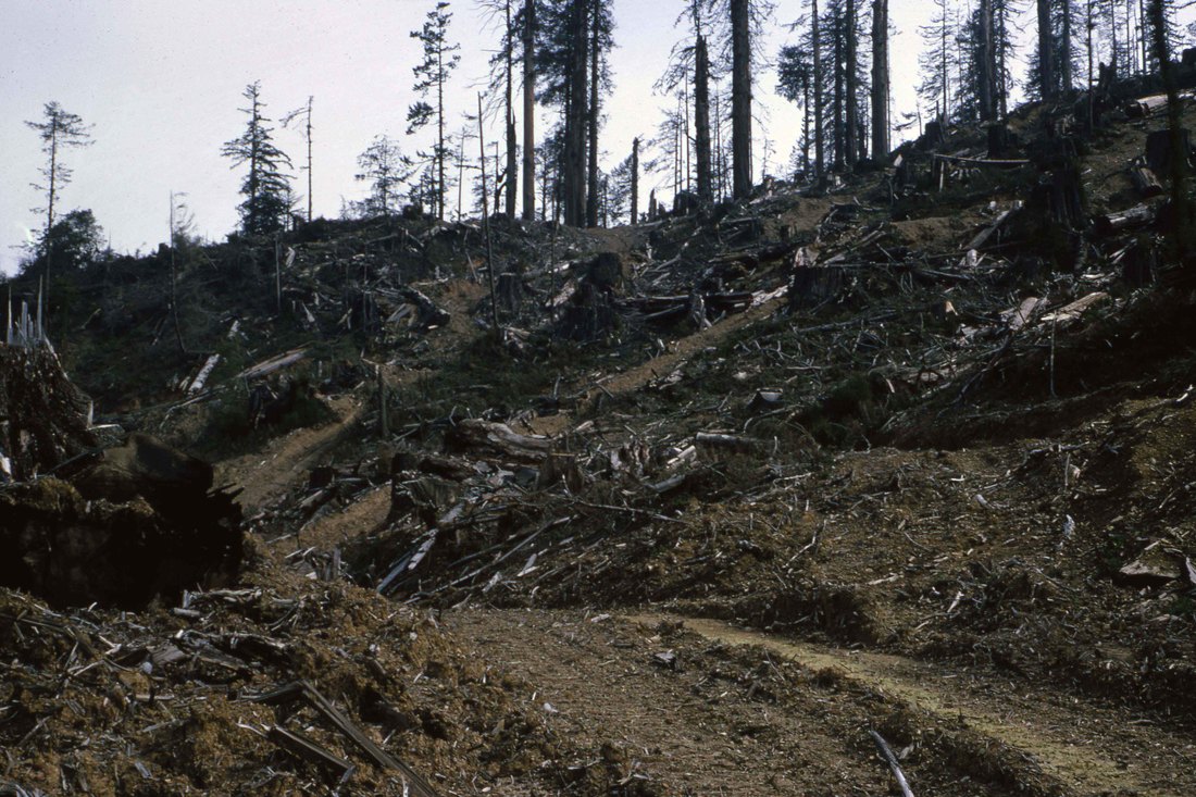
The photo below shows a car driving down a dust road, the State Highway, or the Redwood Highway as it was also known, near Table Bluff, which is just north of Loleta. With the State and Federal funding that led to the development of Highway 101, the Redwood Highway was paved and sometimes rerouted, leading to the growth of some towns and decline of others. Here are postcard photographs featuring cars that drove along the Redwood Highway, connecting Humboldt County to places like San Francisco and Crescent City. These connections facilitated trade, tourism and industry throughout the 1900s while also having an effect on conservation movements like Save the Redwoods League, whose founders drove on the Redwood Highway to the location now known as Rockefeller Forest in Humboldt Redwoods State Park. This road trip-and the logging in process that was witnessed by Madison Grant, John C. Merriam and Henry Fairfield Osborn spurred the idea to create a league in order to stop the logging in notable groves. Save the Redwoods League is still active today and is celebrating their 100th anniversary this year. The roads played their own role in the establishment of Redwood National Park in the 1960s as well. Save the Redwoods League early on focused their efforts largely on preserving roadside stands of redwoods, which were vulnerable to logging due to their easy access. It became something of an unspoken rule for decades to leave a screen of trees between the road and active logging to provides pleasant views to tourists passing through the area. In 1964, Arcata Redwood Company logged an area near Berry Glen, a 1.5 miles from Orick. Rather than leaving a screen of trees near the road, the company logged straight to the edge of Highway 101, revealing the extent of the logging operation to passersby. According to Dan Anthrop, a photographer who participated in the movement to establish the Parks, states that this cut was one of the major galvanizing points that turned public support towards the establishment of the Parks, especially when paired with a National Geographic study that found the world's tallest known tree to be in what later became known as the Tall Trees Grove, also owned by Arcata Redwood Company.
1 Comment
|
AboutKeep up with the Clarke through our Blog! Archives
August 2022
|

 RSS Feed